Clunes has a history of flooding, with significant floods occurring in 1869, 1870, 1871, 1893 and 1933. Clunes was impacted in both September 2010 and January 2011, and while the two events flooded a similar area, the January 2011 event was recorded at 6.39 metres on the Creswick Creek at the Clunes gauge, approximately 300 – 400 millimetres higher than the September 2010 flood. (It’s considered that with a rise of 3.46 metres the Creswick Creek is at full capacity and close to breaking its banks).
Clunes is situated on Creswick Creek, north of Ballarat. The Creswick Creek catchment upstream of Clunes includes the farming areas and forests lying between Clunes and Glendaurel, Learmonth, Coghills Creek, Allendale, Dean, Wattleflat, and Glenpark.
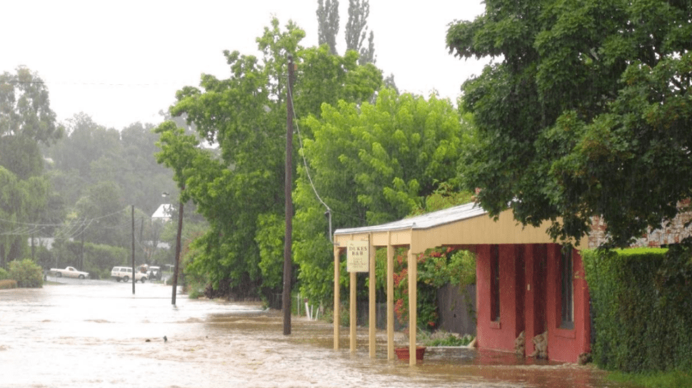
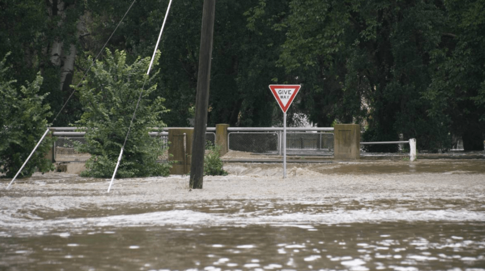
Within the township of Clunes, there are numerous homes, businesses and properties at risk from floods. The Creswick Creek is prone to flash flooding which results from heavy rainfall over a short period of time overwhelming the creek’s capacity and causing it to overflow into parts of the township. Clunes can also experience minor localised flash flooding from the smaller gullies and low-lying areas around the town. The earliest indicator of flooding in Clunes is when water breaks out of the creek moving west towards Purcell Street. Records of the 2010, 2011 and other historical floods show that low-lying areas including parts of Purcell Street, Fraser Street and the Clunes football oval and caravan park are prone to flooding following significant rainfall.
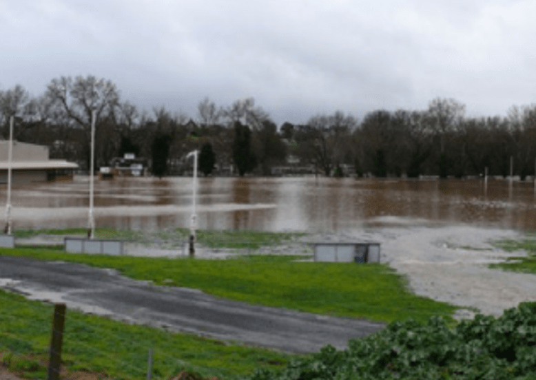
During the January 2011 flood, 200 millimetres of rain fell over four days. This resulted in drains along Service Street, Templeton Street, Fraser Street and Purcell Street to overfill, flooding of the football oval and nearby properties, flooding of low-lying properties near Camp Street and the site of the old Butter Factory at the start of Cameron Street. Floodwater breaking out of the creek bank at the caravan park, resulted in water flowing towards the Ballarat/Maryborough Road. The Creek banks were broken in Queens Park causing flooding in Ligar Street, inundating the swimming pool and footy club pavilion and Purcell Street creek side properties. When water flowed over Service Street Bridge it caused flooding in Service Street and part of the bowling club. Floodwater extended to the southern side of Fraser Street between Templeton and Camp Streets, inundating commercial buildings.
In the September 2010 flood the footbridge was badly damaged and then completely destroyed in the second flood beyond repair. It disrupted the flow of the creek as uprooted trees and wood material piled up against it. Sandbagging was not very successful anywhere, except for some retailers in Fraser where the flow was reduced. Low lying residential properties in lower Fraser Street were completely flooded.
According to one resident “You could say that the water was like a living breathing thing which was unstoppable and it just slowly infiltrated everywhere but at some point the water became a torrent swirling around the spaces in the house.”
Following the September 2010 and January 2011 floods, mitigation works were undertaken to remove exotic trees and weeds from Creswick Creek in order to reduce the expected level of floodwater through Clunes. A new footbridge was installed and areas of the Creek cleared and widened.
For more information about how you can become a valued volunteer contact us at cluneslandcare@gmail.com
We acknowledge the Dja Dja Wurrung as the traditional
custodians of these lands and waterways.
